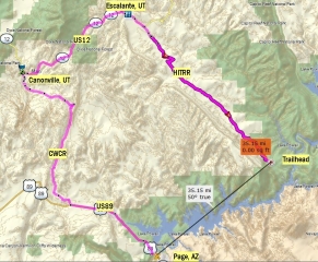
Today I would move from Page, AZ to my last hiking destination. The planed Hike starts at a remote location, 50 miles south of Escalante, UT. The trailhead is on the HITR Road (Hole in the Rock Road) – a 56 mile dirtroad which follows the historic Mormon trail established by settlers forming their way from Escalante, UT down south towards the Colorado. Although the air line distance is only 35 miles from Page, I would need around 4 h to arrive there.
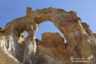
I would first need to drive North. I decided to take the Cottonwood Canyon Road (CWCR) shortcut. It is a dirtroad – a 40 miles north south byway between US12 at Canonville and US89 N near Big Water. I had driven this road several times and it is only advisable to drive it in dry conditions. Easily you get stuck when it rains. Thus I always observed the weather, cause they had predicted rain. I did not stop too often. My first stop was at the Grossvenor Arch at the end of the CWCR.
Grossvenor Arch
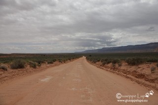
From Canonville I turned into Scenic Byway US12 towards Escalante. In Escalante my first stop was the BLM visitor center at town entance. I requested a permit for Night camping at the HITR Road and I got latest weather conditions too. The weather prediction was 30% rain and when enterig the HITR Road east of Escalante, UT the weather indeed was not looking great.
Clouds on HITR Road
Nevertheless I drove south. I wanted to reach the end of the Road (Hole in the Rock) at Mile 56. When I arrived the weather had cleared up and the sky was blue.
Me relaxing at Hole in the Rock.
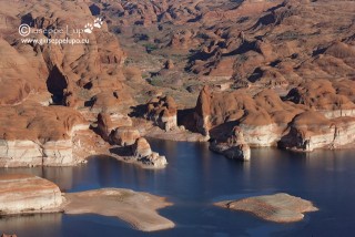
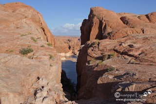
View from Hole in the Rock towards Lake Powell/Colorador River.
Historic Wagon trail thorough Hole in the Rock
Before it got dark I returned the 6 miles on HITR Road towards the Trailhead of my next days Hike. It was the hike I had been scared of the most, cause it leads 8 miles into un-trailed land. The hike is not official but only from research on the web. Most likely nobody would be present to help for a long time if anything goes wrong.
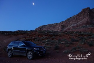
My Night Camp at the Trailhead.


